


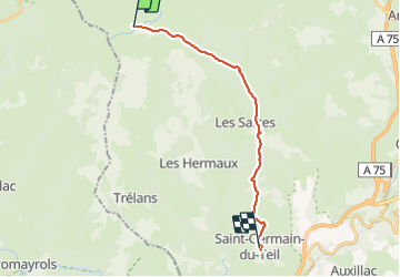
GR60 je Saint Germain de Teil

werth
User

Length
19 km

Max alt
1397 m

Uphill gradient
227 m
Km-Effort
24 km

Min alt
777 m

Downhill gradient
765 m
Boucle
No
Creation date :
2023-08-20 06:24:44.289
Updated on :
2023-08-21 10:26:16.888
7h50
Difficulty : Medium

FREE GPS app for hiking
 SityTrail
IGN / Geographical institutes
SityTrail Plus
The world is yours!
About
Trail Walking of 19 km to be discovered at Occitania, Lozère, Les Salces. This trail is proposed by werth.
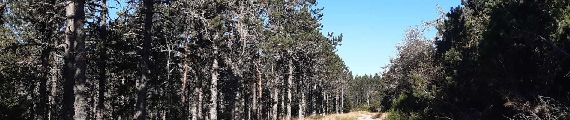
Photos


Positioning
Country:
France
Region :
Occitania
Department/Province :
Lozère
Municipality :
Les Salces
Location:
Unknown
Start:(Dec)
Start:(UTM)
507408 ; 4935889 (31T) N.
Comments